
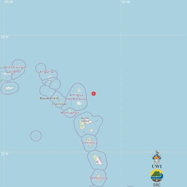

A magnitude 3.6 earthquake was recorded northeast of Antigua and Barbuda shortly after midday Wednesday, according to an automatic preliminary report from the University of the West Indies Seismic Research Centre (UWI-SRC).
The earthquake occurred at 12:09 p.m. local time on September 23 at a depth of 10 kilometres.
UWI-SRC placed the preliminary epicentre at latitude 17.50N and longitude 61.18W, approximately 86 kilometres northeast of St. John’s, Antigua and Barbuda.
The earthquake was also located about 138 kilometres northeast of Brades, Montserrat, and 144 kilometres north-northeast of Point-à-Pitre, Guadeloupe.
There were no immediate reports of damage.
UWI-SRC said the location was automatically calculated by computer algorithms and remains subject to revision after evaluation by its analysts.
This article was originally published by Antigua News Room. Read the original article here: Magnitude 3.6 Earthquake Recorded Northeast of Antigua and Barbuda.