
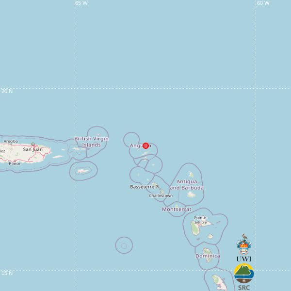

A magnitude 3.6 earthquake was recorded approximately 197 kilometres northwest of St. John’s, Antigua and Barbuda, on Wednesday morning, according to the University of the West Indies Seismic Research Centre (UWI-SRC).
The earthquake occurred at 9:42 a.m. local time on November 18 at a depth of 10 kilometres.
The seismic centre placed the epicentre near Anguilla, at latitude 18.43 degrees north and longitude 63.04 degrees west.
The earthquake was also located approximately 130 kilometres north-northwest of Basseterre, St. Kitts and Nevis, and 203 kilometres northwest of Brades, Montserrat.
There was no immediate indication in the preliminary bulletin of whether the tremor was felt in Antigua and Barbuda or neighbouring islands.
The UWI-SRC said the earthquake’s location was automatically calculated using computer algorithms and could be revised following further assessment by its analysts.
This article was originally published by Antigua News Room. Read the original article here: Magnitude 3.6 earthquake recorded 197 km from Antigua and Barbuda.